

Map and Street View components for React Native.
Uses the Google Maps SDK for iOS and the Maps SDK for Android, built on Nitro Modules.


Documentation Examples API reference
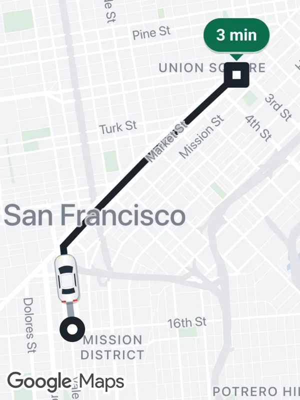 Ride tracking |
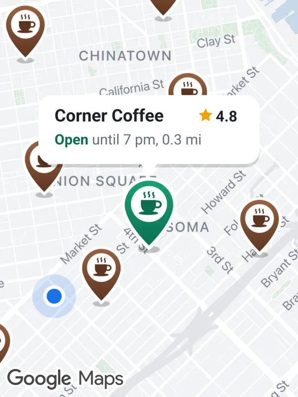 Store locator |
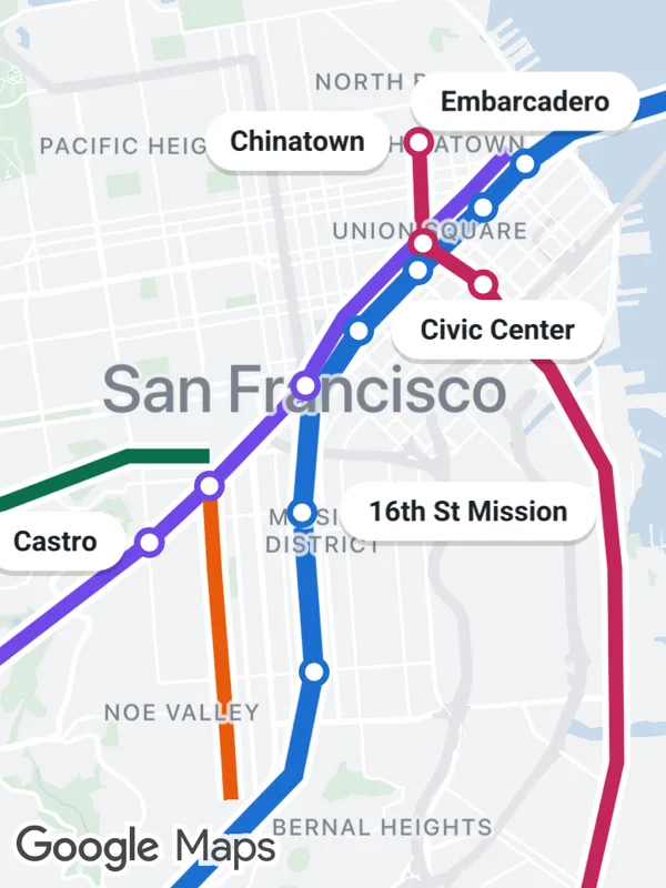 Transit network |
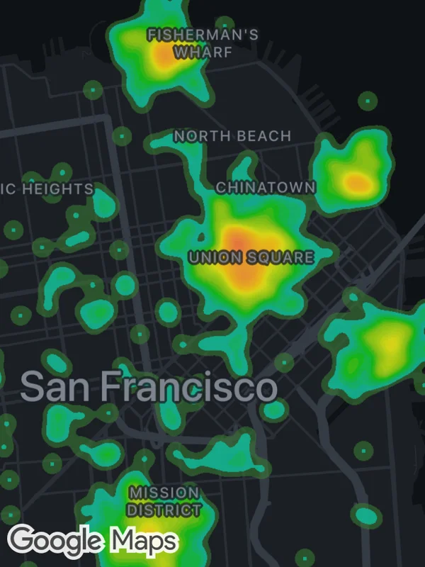 Analytics |
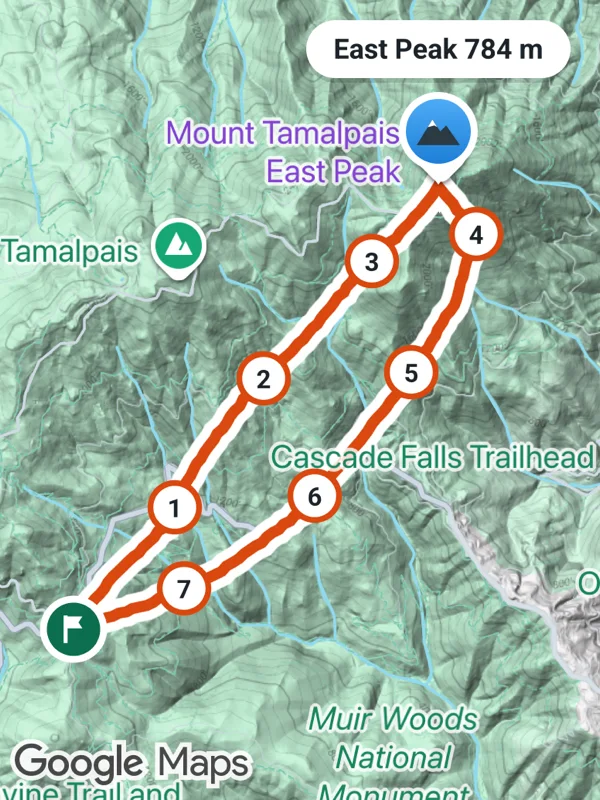 Outdoor tracking |
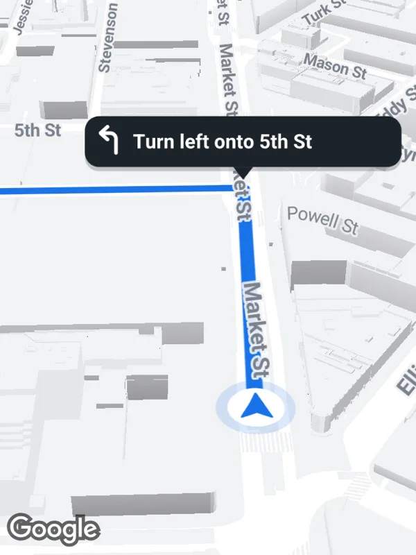 Navigation |
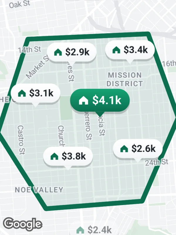 Rentals |
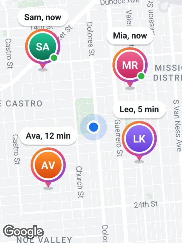 Friends nearby |
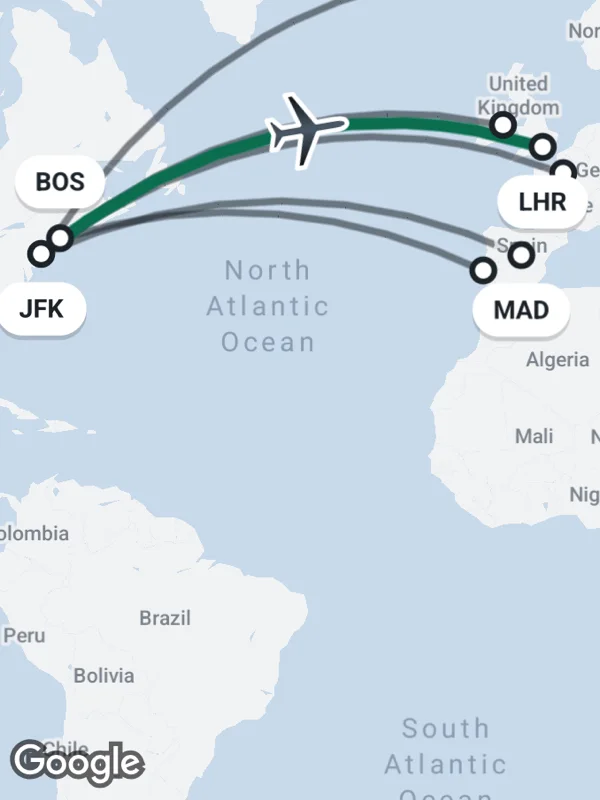 Flight routes |
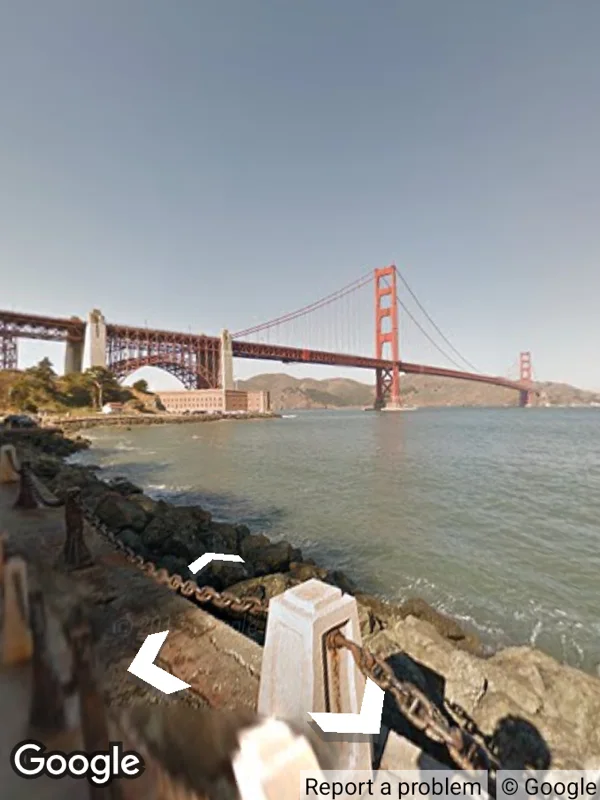 Street View |
Top row on iOS, bottom row on Android. Every marker is an SVG. 25 examples with code.
- Map view and Street View panorama
- Markers with SVG icons, rendered with lunasvg
- Advanced Markers with pins and glyphs
- Polylines, polygons, circles, heatmaps, KML layers and URL tile overlays
- Map styles, map IDs, dark mode, traffic, transit and indoor maps
- Camera control and snapshots
- Location updates, heading and permissions
| Minimum | |
|---|---|
| React Native | 0.87, New Architecture |
| iOS | 16 |
| Android | API 26, Kotlin 2.3 |
| Expo | Development build with the config plugin |
yarn add react-native-google-maps-plus react-native-nitro-modulesThen set up the Google Maps SDKs and your API keys for iOS and Android, see the installation guide.
import { GoogleMapsView } from 'react-native-google-maps-plus';

export default function App() {
  return (
    <GoogleMapsView
      style={{ flex: 1 }}
      mapOptions={{
        camera: {
          center: { latitude: 37.7749, longitude: -122.4194 },
          zoom: 12,
        },
      }}
      markers={[
        {
          id: 'ferry-building',
          coordinate: { latitude: 37.7955, longitude: -122.3937 },
        },
      ]}
    />
  );
}
Overlays are props, callbacks report what the user does and the ref moves the camera. See Usage and the examples.
- Installation
- Usage
- Upgrading from 1.x
- SVG markers
- Advanced markers
- Troubleshooting
- Limitations
- API reference
- llms.txt for AI tools
MIT